Canada’s Most Overlooked Strategic Corridor
Canada holds a geographic advantage that most nations would fight to control. A vast natural corridor cuts through its interior, gathers water and resources from an enormous landmass, and flows straight into the Arctic Ocean. You would expect a country to build ports, transport links, and industrial hubs around such a system. Canada did not. It treated this corridor as a remote feature instead of a national asset. That corridor is the Mackenzie River system. As Arctic ice retreats and global powers shift their focus north, this river stands out as a missed opportunity that could shape Canada’s future. I kept coming back to one thought as I studied this system closely. You can almost feel the weight of what Canada chose not to build.
A River System That Shapes a Continent
The Mackenzie River runs about 1,800 kilometers from Great Slave Lake to the Arctic Ocean, making it the longest river fully within Canada. That number only tells part of the story. When you include major tributaries like the Peace, Athabasca, and Liard rivers, the system stretches beyond 4,200 kilometers. This network drains around 1.8 million square kilometers, nearly one fifth of the country. That area exceeds the size of Iran and stands larger than Alaska.
At its northern end, the river spreads into a massive delta that covers roughly 13,000 square kilometers. This delta ranks among the largest in the Arctic and creates a complex web of channels, wetlands, and shifting sediment. Systems on this scale usually drive economic power. The Mississippi turned the American interior into a global export engine. The Rhine supported Europe’s industrial core for centuries. Rivers of this size do not stay passive. They become corridors of movement, trade, and control. The Mackenzie has all the physical traits of such a system, yet it never became a backbone for Canada’s economy.
Also Read: How Iceland Built Giant Walls to Hold Back Volcanic Lava
Development That Stopped at the Border
The limited development along the Mackenzie stands out immediately. You will not find major cities lining its banks. You will not see a continuous highway or railway running alongside it. Large sections of the river flow through land with almost no permanent infrastructure. Small communities exist, but they remain isolated and difficult to supply.
Canada did not reach this outcome by accident. It built its national infrastructure in a different direction. About three quarters of the population lives within 160 kilometers of the United States border. This pattern shaped every major investment. Roads, railways, pipelines, and ports stretch east to west across the southern part of the country. The St. Lawrence Seaway alone shows how far Canada went to connect its interior to global trade through the Atlantic.
Northern development never received the same level of focus. The Arctic felt distant and commercially unimportant for most of the twentieth century. Ice covered the ocean for much of the year, and shipping routes remained unreliable. Canada chose to strengthen connections with the United States and global markets to the east and west. The Mackenzie stayed outside that vision.
A Resource Corridor Without Infrastructure
The lack of development becomes even more striking when you look at the resources within the Mackenzie Basin. Northern Alberta holds vast oil sands reserves, among the largest in the world. The Mackenzie Delta contains significant natural gas deposits. Norman Wells has produced oil for over a century and still operates today. The Northwest Territories contain diamonds, gold, rare earth elements, and other critical minerals that modern industries depend on.
In most countries, a river system that links this level of resource wealth becomes a primary transport route. It reduces costs, supports large-scale extraction, and connects inland production to global markets. Canada took a different path. It moved resources south. Pipelines carry oil toward the United States. Mining companies rely on trucks, seasonal ice roads, and air transport. These methods increase costs and limit growth.
The river exists as a natural highway, but Canada never built the infrastructure needed to use it at scale. No major deep-water port anchors its northern end. No integrated transport network connects its interior regions to the Arctic coast. The corridor remains underused despite its potential.
When Ice Made the Arctic Irrelevant
For decades, the Arctic Ocean acted as a barrier rather than a gateway. Thick sea ice covered large areas for most of the year. Ships could not rely on consistent routes. Infrastructure faced extreme conditions and high maintenance costs. Under these conditions, building a major export corridor toward the Arctic made little economic sense.
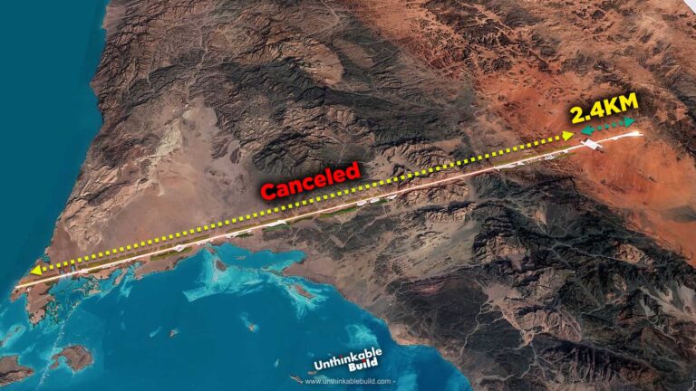
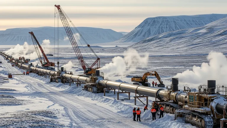
Canada explored several projects over the years. Plans for pipelines along the Mackenzie surfaced multiple times. Governments and companies studied routes, assessed costs, and even began early work in some cases. Each effort faced the same challenges. High costs, harsh weather, and uncertain returns pushed projects to the edge. Most of them stalled or disappeared.
The conclusion remained consistent. Moving resources south cost less and carried lower risk. The Mackenzie continued to flow north, but it did not support large-scale trade.
A Rapid Shift in Arctic Reality
That old logic no longer holds the same weight. Arctic sea ice has declined sharply over the past few decades. Summer coverage continues to shrink, and scientists expect longer ice-free periods in the future. This change opens new shipping routes that were once impossible.
The Northern Sea Route along Russia’s coast already sees growing traffic. The Northwest Passage, which runs through Canada’s Arctic archipelago, attracts increasing attention as ice conditions change. These routes can shorten travel distances between Asia, Europe, and North America.
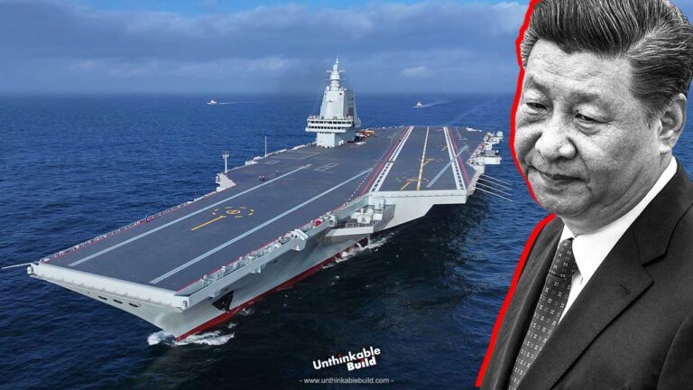
Global powers have noticed. Russia has invested heavily in Arctic ports, icebreakers, and military bases. China has declared itself a near-Arctic state and funds research, shipping, and infrastructure projects in the region. The United States has increased its focus on Alaska and Arctic strategy.
In this environment, access to the Arctic carries economic and strategic value. The Mackenzie River offers Canada a direct connection from its interior to this emerging space.
The Gap Between Geography and Action
Canada already possesses the physical corridor that many countries wish they had. The Mackenzie connects resource-rich regions directly to the Arctic Ocean. Yet this advantage remains largely unused.
Communities along the river maintain Canada’s presence in the region, but they face isolation and limited infrastructure. Supply chains depend on seasonal routes and high-cost transport. Year-round road access to parts of the Arctic coast only arrived recently. Large-scale logistics remain difficult.
Canada also lacks a major port at the mouth of the Mackenzie capable of handling significant shipping traffic. Without such a hub, the river cannot support large export volumes or rapid response operations. This gap affects more than trade. It also limits environmental monitoring, emergency response, and sovereignty enforcement.
In the Arctic, presence matters. Infrastructure allows a country to monitor activity, respond to incidents, and support economic growth. Without it, geography alone does not translate into influence.
A History of Delayed Decisions
Canada’s approach to the Mackenzie reflects a pattern of hesitation. Plans have surfaced, gained attention, and then faded. Economic conditions changed. Costs rose. Political priorities shifted. Each cycle reinforced the idea that northern development carried too much risk.
This pattern made sense in a world where the Arctic held limited value. That world has changed. Climate trends, resource demand, and geopolitical competition have all shifted the region’s importance.
The Mackenzie itself has not changed. It still drains a massive portion of Canada and flows into the Arctic. The difference lies in how the world now views that destination.
Also Read: China Is Building a Mega-Dam That Makes Three Gorges Look Small
What Canada Must Decide Next
Canada now faces a decision it has delayed for generations. It can continue to treat the Mackenzie as a remote river, or it can develop it as a strategic corridor. Turning this system into a national asset will require serious investment. Ports, roads, rail links, and logistics hubs must support year-round operations. Planning must extend beyond short-term projects and focus on long-term presence.
This decision also demands balance. Development must respect environmental concerns and Indigenous communities that have lived along the river for centuries. Strong partnerships and clear regulations will shape any future progress.
Global competition in the Arctic will not slow down. Countries are already positioning themselves to benefit from new routes and resources. Canada holds a natural advantage through the Mackenzie River system. The real question is whether it will act on that advantage.
Right now, the river remains a powerful but underused corridor. If Canada chooses to invest and build, it can turn geography into influence. If it continues to wait, others will define the future of the Arctic without it.